
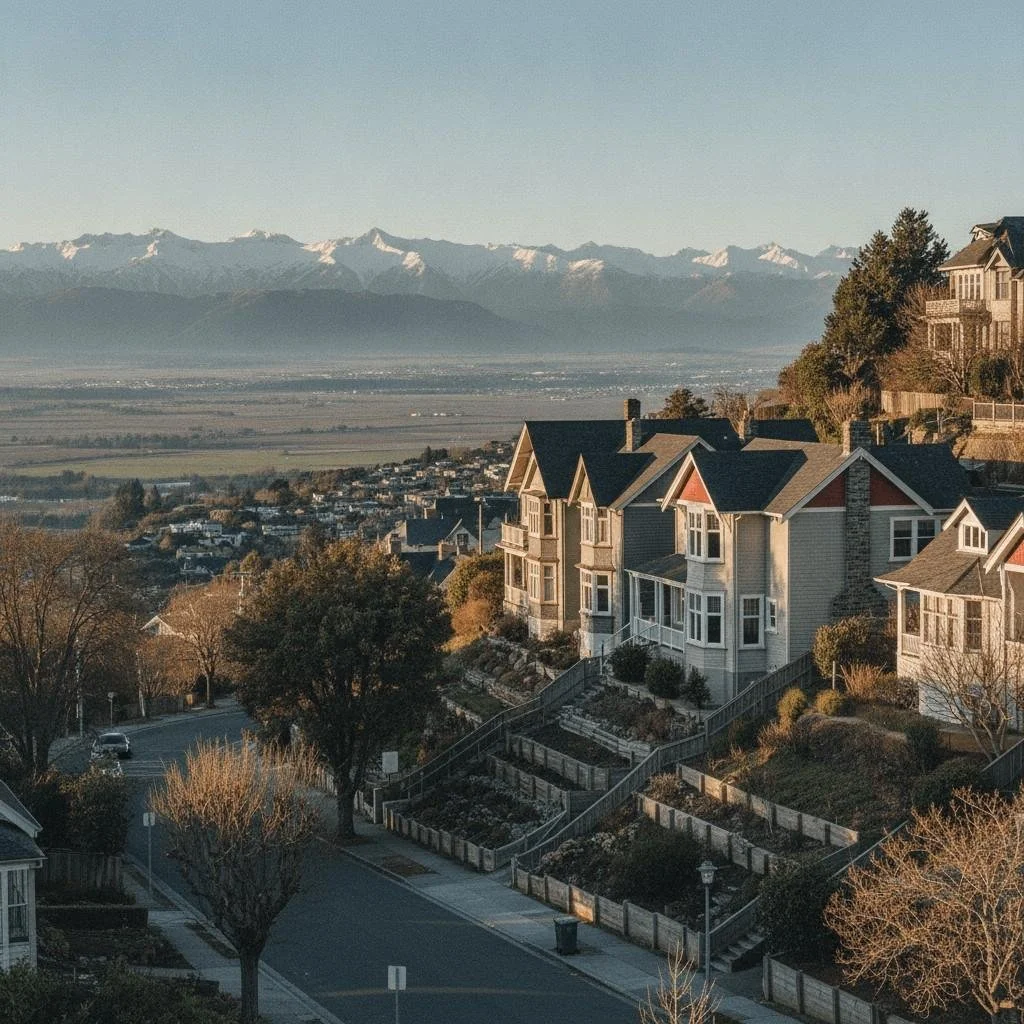
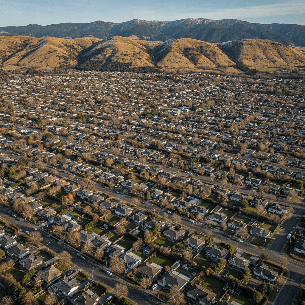
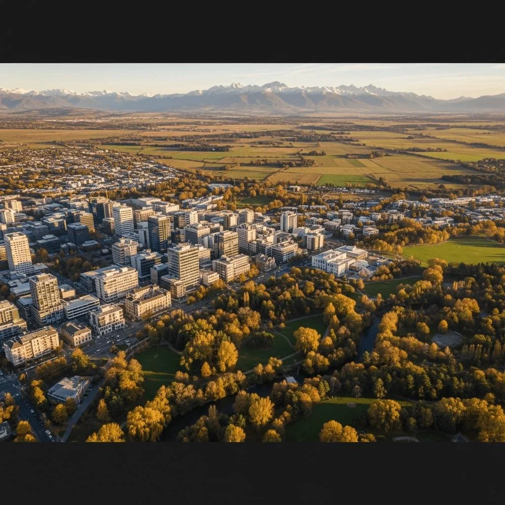
Cashmere blends city convenience with hillside escape. Port Hills walking tracks at the back door, the CBD ten minutes down the road, and views that stretch from the Canterbury Plains to the Southern Alps. It's a suburb where established character, strong schools, and the outdoors meet.
Cashmere Suburb Guide
Cashmere Property Market Overview
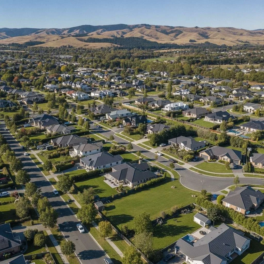
Cashmere occupies the northern slopes of the Port Hills, approximately five kilometres south of the Christchurch CBD, covering around 4.7 square kilometres of predominantly hilly terrain. It is one of Christchurch's most established and sought after residential suburbs, known for its elevated position, mature trees, character homes, and panoramic views across the Canterbury Plains to the Southern Alps. The population of around 6,340 is stable rather than growing — Cashmere's hillside topography and established character mean there is minimal new development, which is precisely what gives the suburb its scarcity value. Owner occupiers make up 84.8% of households, one of the highest rates in Christchurch, and the demographic profile skews toward established families and professionals.
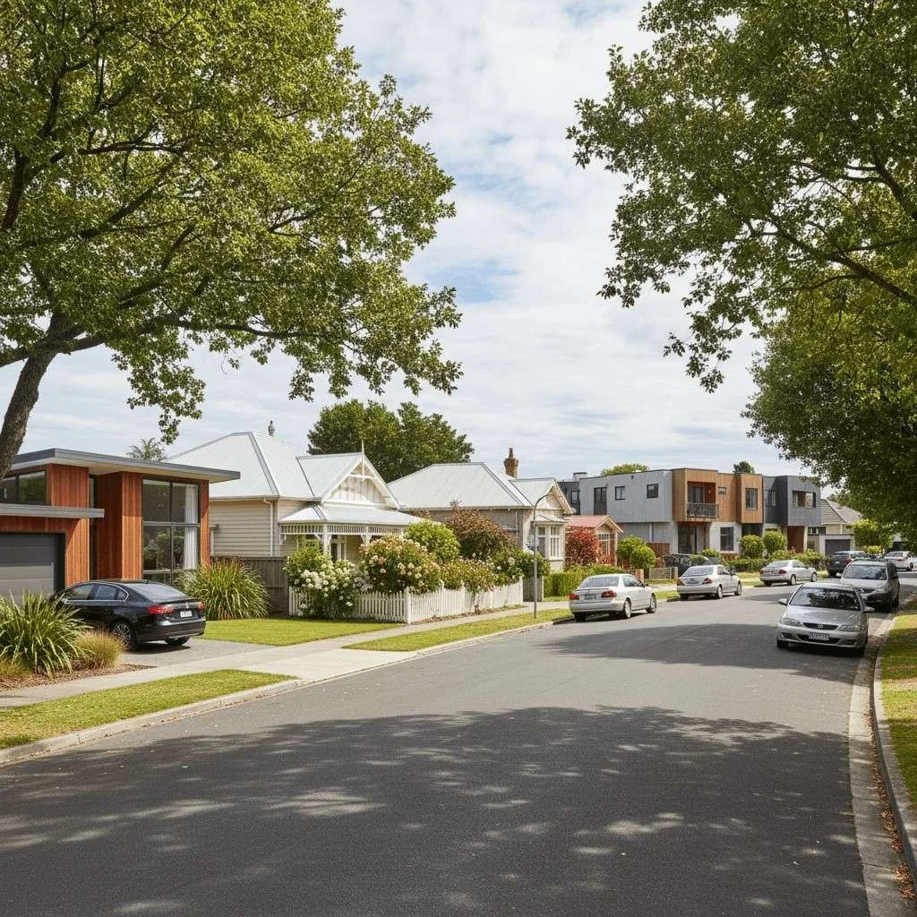
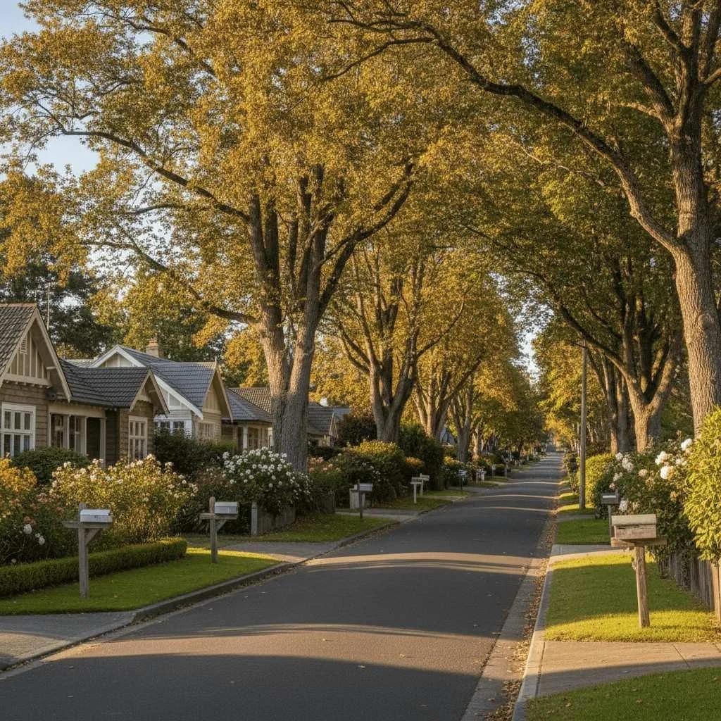
The suburb's character varies with elevation. The lower, flatter areas closest to Colombo Street and Cashmere Road have a mix of older villas, bungalows, and modern renovations with easier access and walkability. Higher up, the terrain becomes steeper with winding roads like Hackthorne Road, Dyers Pass Road, and Worsleys Road providing access to larger properties with views. Two of Harry Ell's historic rest houses — the Sign of the Takahe and the Sign of the Kiwi — are located in Cashmere, both Category I heritage buildings that mark the transition from suburban Cashmere into the Port Hills reserves above. For buyers, Cashmere offers something genuinely difficult to replicate: a premium, established suburb within minutes of the CBD that combines character housing, natural setting, strong school zoning, and views that no new subdivision can match.
Key Amenities
Shopping and Retail
Cashmere itself has a small village cluster along Colombo Street and Cashmere Road with cafes, a dairy, and local services. For larger shopping, St Martins shopping centre is immediately to the north, Barrington Mall is within a five minute drive, and the Christchurch CBD is around 10 minutes away. Westfield Riccarton, the South Island's largest mall, is approximately 15 minutes by car. The suburb's proximity to multiple shopping precincts means residents are well served despite the limited local retail.
Recreation and Sport
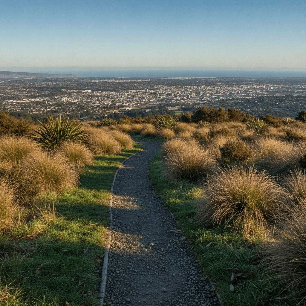
Victoria Park dominates the upper reaches of Cashmere — a large Port Hills reserve with extensive walking and mountain biking tracks, multiple access points (Sign of the Takahe, main Victoria Park car park, and Sign of the Kiwi), a children's playground, and connections to further tracks running the length of the Port Hills. Christchurch Adventure Park, a commercial mountain bike park, opened in December 2016 on the Port Hills above Cashmere. The Cashmere Club is home to numerous local sports groups including rugby, soccer, bowls, badminton, darts, squash, and small bore rifle shooting. The Heathcote River runs along the northern edge of the suburb, providing flat walking and cycling routes toward the CBD.
Community and Heritage
Cashmere has a strong sense of established community. The Sign of the Takahe and Sign of the Kiwi are both Category I heritage buildings maintained by Christchurch City Council — the Sign of the Takahe was built between 1918 and 1948 and serves as a function and event venue, while the Sign of the Kiwi is a historic rest house on Dyers Pass Road. The suburb supports local churches, a community association, and is well served by early childhood and primary education facilities. A significant infrastructure project — the realignment of the Cashmere and Worsleys Road intersection with new traffic lights — began in 2026 and is due for completion in August.
Transport
Cashmere is approximately five kilometres from the Christchurch CBD, with a typical drive time of 10 to 15 minutes via Colombo Street or Dyers Pass Road. Bus services operated by Environment Canterbury connect the suburb to the central city. Cycling routes along the Heathcote River provide an alternative commute option on flat terrain. The hillside nature of the suburb means most internal travel is by car, and some steeper streets can be affected by ice in winter. Dyers Pass Road provides access over the Port Hills to Lyttelton and Governors Bay.
Schools and Zoning
Primary Schools
Cashmere is served by two main state primary schools, plus a contributing school that feeds into a nearby intermediate:
- Cashmere Primary School (Te Pae Kereru) — Years 1 to 8, state full primary. Roll of approximately 483 students. Decile 10. Established in 1900 (originally Port Hills Aided School), this is the main primary school serving the core Cashmere area. Has maintained a consistent decile 10 rating throughout its history.
- Thorrington School (Te Kura o Huriawa) — Years 1 to 6, state contributing school. Roll of approximately 455 students. Decile 10. Serves the northern and lower portions of the Cashmere catchment. Students transition to an intermediate school (typically Christchurch South Intermediate) for Years 7 and 8. Opened in 1958.
Secondary School
Cashmere High School is the zoned state secondary school for Cashmere. It is a co-educational state school offering Years 9 to 15, with a roll of approximately 2,335 students (Syncrat 2025 data) — one of the largest secondary schools in Christchurch. Decile 9, with an Equity Index of 413. The school's enrolment zone covers a wide catchment including Cashmere, Huntsbury, Westmorland, and parts of Hillsborough and Kennedys Bush. Cashmere High has seen steady roll growth from around 1,900 in 2016 to over 2,300, and is unlikely to accept out of zone enrolments in 2026 due to capacity pressure.
School rolls, decile ratings, and Equity Index figures are approximate and sourced from Education Counts, Syncrat, and school publications. Enrolment zones change periodically — always verify your address directly with the Ministry of Education or the relevant school before making property decisions based on school zoning.
-
![215 Okuti Valley Road, Little River]()
215 Okuti Valley Road, Little River
-
![4 Deal Street, Wigram]()
4 Deal Street, Wigram
-
![]()
71 Cranford Street, St Albans
-
![]()
3/556 Barbadoes Street, Edgeware
-
![]()
10 Trainor Street, Lincoln
-
![]()
100 Idris Road, Fendalton
-
![]()
11/28 Salisbury Street, Central City
-
![]()
23 Primrose Hill Lane, Casebrook
-
![122 Glandovey Road, Fendalton]()
122 Glandovey Road, Fendalton
-
![61B Tennyson Street, Sydenham]()
61B Tennyson Street, Sydenham
-
![44 Karnak Crescent, Russley]()
44 Karnak Crescent, Russley
-
![172B Strickland Street, Sydenham]()
172B Strickland Street, Sydenham
-
![62 Straven Road, Fendalton]()
62 Straven Road, Fendalton
-
![6 Benmore Gardens, Harewood]()
6 Benmore Gardens, Harewood
-
![148 Knowles Street, St Albans]()
148 Knowles Street, St Albans
-
![22 Erica Street, Papanui]()
22 Erica Street, Papanui
-
![97B Fendalton Road, Fendalton]()
97B Fendalton Road, Fendalton



Read Our Blog Posts
Your questions answered!
-
Cashmere was hit hard by the 2010 and 2011 Canterbury earthquakes, with a GNS report identifying 36 areas of mass movement across the hill, including rockfall, cliff collapse, and loess landslides. Council-imposed red and yellow zones following the quakes have since been largely resolved, and properties currently on the market have passed through more than a decade of geotech scrutiny, insurance reassessment, and remediation. Buyers should still request a LIM report and check the property's specific hazard overlays via the CCC viewer before committing.
-
The Equity Index replaced the old decile system in 2023 and runs from roughly 344 (least disadvantage) to 569 (most). Cashmere High's 415 places it well within the lower-disadvantage band, broadly comparable to former decile 8 to 9 schools. It's a school-level measure of the socioeconomic barriers students face, not a measure of academic quality, so parents should pair it with NCEA results and ERO reports when evaluating fit.
-
Not all of Cashmere falls inside the Cashmere High zone, and the zone has been tightened twice (2018 and 2020) to manage roll pressure. The current zone covers the core Cashmere area plus surrounding southern suburbs, but boundary streets do shift. Always confirm a specific address using the Ministry of Education's school zone finder before making an offer, as zoning is the single biggest school-related risk for buyers paying a Cashmere premium.
-
Cashmere's median (~$1.06M) sits roughly $200,000 to $400,000 below Fendalton ($1.25M) and Merivale ($1.10M), making it the most accessible of Christchurch's top-tier suburbs. The trade-off is terrain: Cashmere is hillside with views, Fendalton and Merivale are flat with mature trees and closer CBD access. Cashmere also offers larger sections and a stronger outdoor lifestyle, while the western suburbs lean toward heritage character and walkability.
-
Cashmere skews heavily toward owner-occupiers (around 85%) with median rent near $650 per week, producing relatively modest gross yields of roughly 3 to 3.5%, which is below higher-yield Christchurch suburbs like Avondale or Aranui at 5%-plus. The investment case is capital growth and tenant quality rather than cashflow, with limited new supply on the hill supporting long-term value. Investors chasing yield typically look elsewhere; those wanting a blue-chip hold consider Cashmere.
FAQs about Cashmere
Contact Hayden | Best Real Estate Agent in Christchurch
Hayden Roulston
Harcourts Papanui
+64 21 721 699
hayden.roulston@harcourtsgold.co.nz
471 Papanui Road, Papanui, Christchurch
